
At a glance
- Location
- Mukkadal reservoir, inland from Nagercoil
- Recommended time
- 45–90 minutes if public access is admitted
- Best for
- Local families, water-supply history and short inland road outings.
- Best time
- Choose daylight and settled weather. Check local rain and access conditions rather than assuming a particular water level or green landscape.
- Entry
- Confirm the visitor entrance and which areas are open; water-supply structures have separate operational restrictions. Visitor information should be confirmed before travelling.
- Walking
- Choose the authorised viewing route and ask about slopes, steps and seating. No complete accessible circuit has been verified.
Before you go: Stay away from reservoir edges, intake structures and closed compounds.
Visit durations are editorial planning suggestions. Allow extra time for travel, queues and your group’s pace.
Why visit Mukkadal Dam?
- The reservoir landscape behind Nagercoil
- Storage as one part of the city’s water story
- The distinction between a public view and operating water-supply works
How to reach
By bus
Confirm a service and stop for Mukkadal Dam, then arrange the remaining road transfer only after checking current public access. No current official route number was verified. Confirm the destination and return service at the bus stand.
By train
Nagercoil Junction (NCJ) is a regional railway gateway; arrange a separate road transfer. Check your train's stopping station and travel-date timetable.
By road
Arrange the approach to the public visitor area rather than water-supply works. The Nagercoil municipal source establishes the dam's water-supply role but provides no visitor route or transport stop.
Transport sources checked: . Nagercoil Municipality: Water Supply.
The existing approximate 10 km approach was not reverified from a current official visitor source. No public bus number, gate-side stop, nearest-station assessment or return service established.
Visitor information
- Opening and entry
- The municipal water-supply source establishes the reservoir's function, not visitor hours or admission. Visitor information should be confirmed before travelling.
- Parking and facilities
- Confirm parking, toilets, seating and the permitted walking route before travelling, particularly with young children or older visitors.
Best time to visit
Choose daylight and settled weather. Check local rain and access conditions rather than assuming a particular water level or green landscape.
Check whether a public viewpoint, park or walking route is currently open. Keep clear of treatment works, machinery and restricted banks. Do not plan around unconfirmed boating or swimming.
Visitor information should be confirmed before travelling. Fees, permissions, facilities and last entry are not established unless explicitly sourced below.
Facilities, parking and accessibility
Confirm toilets, drinking water, parking, step-free access and assistance with the destination. A railway or bus arrival does not establish access to the entrance; plan any final walk or transfer for your group.
Earlier visitor notes
Background notes: current arrangements require confirmation. Use the dated official source record for the scope of verified details.
What to look for from permitted areas
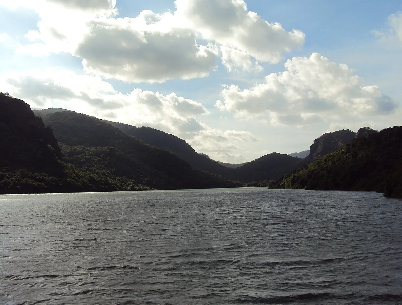
If public access is available, begin with the relationship between the retained water and the surrounding land. Notice where the view opens and how the shore changes with the water level. There is no need to approach gates, machinery or restricted edges to understand the landscape.
A public reservoir viewpoint and a tour of operating water infrastructure are different visits. Arrange any specialist visit through the operator; do not assume a map pin or an older photograph establishes entry to a treatment facility or dam structure.
Check access before making the journey
Ask the municipal authority about current visitor access and any restrictions before setting out. Do not plan around unverified boating, park hours, entry fees or walking routes. This page explains the place’s water-supply connection rather than promising recreational facilities.
Make the outing fit the group’s mobility and the weather. A reservoir visit can stand on its own as a short countryside excursion, or support a wider interest in the foothill towns and the district’s rainfall. Leave room for the return journey.
What to see and do
- Confirm current public access
- Observe the reservoir from admitted ground
- Return to Nagercoil for a neighbourhood visit if the day allows
Important things to know before visiting
Stay away from reservoir edges, intake structures and closed compounds. Do not swim or enter channels to follow the water.
Best way to experience this place
For families, make a short confirmed viewing stop, then return to a town-based break instead of assuming picnic facilities are available.
History and story behind the place
From storage through treatment to supply
Storage is the beginning of the municipal supply journey. Water must be conveyed, treated and distributed through a network before it reaches users. These stages explain why a reservoir, treatment works and service tank perform different jobs.
The municipal page contains service figures from different records. They should not be read as a live water-level report or a promise about today’s household supply. The wider water-network article places urban demand beside irrigation and downstream habitats.
Geography, water and local life
A reservoir with an everyday urban role
Nagercoil’s municipal water-supply account identifies Mukkadal Dam with the Marthanda Varma Water Works and links the scheme with 1945. It describes conveyance towards Krishnancoil and a filter-house system. The reservoir is therefore part of the city’s everyday infrastructure, as well as a landscape beyond its built-up streets.
A visit to Nagercoil can begin with markets, neighbourhoods and temples. Mukkadal adds another way to understand the city: the water used in its homes and institutions has a journey beyond the tap.
What makes this place unique?
The reservoir connects a hill landscape with an everyday city need: stored water must be conveyed and treated before reaching Nagercoil.
Combine this with nearby places
Pair Mukkadal with Boothapandi or a Nagercoil town visit on an inland outing, leaving a separate road leg for the reservoir approach.
Responsible visiting
Keep away from water-treatment works, machinery and restricted banks. Do not plan unconfirmed boating or swimming.
Quick summary
Mukkadal is best for a modest water-landscape stop. Allow 45–90 minutes as an editorial suggestion and confirm the public entrance and facilities first.
Sources and further reading
Sources for visitor information and transport
- Nagercoil municipal water-supply account — Mukkadal reservoir and city water-supply relationship; not public visiting hours.
- Nagercoil Municipality: Water Supply — Identifies Mukkadal Dam within the water-supply system; no bus route or current visitor access supplied.
- Southern Railway: Thiruvananthapuram division station list — Station identities/codes NCJ, ERL and KZT only; not a current train timetable, last-mile distance survey or proof of nearest station.
Verification note
Editorial review: . Transport guidance follows the dated source record above; this is not a live timetable confirmation. Current opening hours, fees and permissions have not been independently verified.
Historical references support the research passages they accompany. Editorial visit durations and recommendations are suggestions, not official operating information.