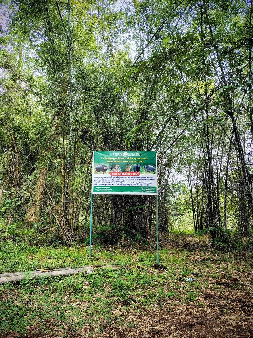

At a glance
- Location
- Perunchani reservoir, in the northern inland district
- Recommended time
- 75 minutes at a permitted viewpoint
- Best for
- Reservoir views and the irrigation landscape
- Best time
- Daylight and settled weather after public access is confirmed.
- Entry
- Confirm public access with the water-resources or local authority. Stay clear of restricted infrastructure, outlets and unstable banks. No boating, dam-crest walk or swimming is promised.
- Walking
- Use only the admitted public viewpoint; confirm steps, banks and seating.
Before you go: Confirm public access with the water-resources or local authority.
Visit durations are editorial planning suggestions. Allow extra time for travel, queues and your group’s pace.
Why visit Perunchani Dam?
- A reservoir landscape within the district's water network
- A countryside outing beyond the cape
- A way to connect stored water with downstream farming
How to reach
By bus
Ask for a current service towards Perunchani or the appropriate Kulasekharam connection. No specific bus number or gate-side stop has been verified for this guide.
By train
Use a confirmed regional rail arrival and continue by road via the western district. Check the total transfer time before pairing this with a departure train.
By road
Use the confirmed public entrance or viewpoint and arrange the return road journey. Reservoir levels, releases and visitor restrictions can change the available experience.
Transport sources checked: . Census of India: district handbook, Kodayar irrigation system.
The named source records support only their stated scope. Confirm the travel-date service, actual alighting point, final transfer and return journey. No live timetable, fare or guaranteed connection is supplied.
Visitor information
- Opening, admission and facilities
- Current public hours, fees, parking and accessible paths have not been established. A water-release notice is not a tourism opening announcement.
- Access arrangements
- Confirm public access with the water-resources or local authority. Stay clear of restricted infrastructure, outlets and unstable banks. No boating, dam-crest walk or swimming is promised.
Best time to visit
Daylight and settled weather after public access is confirmed.
Confirm public access with the water-resources or local authority. Stay clear of restricted infrastructure, outlets and unstable banks. No boating, dam-crest walk or swimming is promised.
Visitor information should be confirmed before travelling. Fees, permissions, facilities and last entry are not established unless explicitly sourced below.
Facilities, parking and accessibility
Confirm toilets, drinking water, parking, step-free access and assistance with the destination. A railway or bus arrival does not establish access to the entrance; plan any final walk or transfer for your group.
What to see and do
- Confirm the reservoir's public viewpoint
- Observe the stored water and surrounding countryside
- Leave operating structures outside the visit and return by the arranged road route
Important things to know before visiting
Confirm public access with the water-resources or local authority. Stay clear of restricted infrastructure, outlets and unstable banks. No boating, dam-crest walk or swimming is promised.
Best way to experience this place
Choose one confirmed viewpoint and take time to read the water and surrounding terrain. Keep operating structures outside your visitor route.
History and story behind the place
The setting and its local story
The district census handbook records Perunchani as part of the Kodayar irrigation system. That water-management role helps explain the landscape, but a record of a dam does not establish public entry to its crest, spillway or operating compound.
Read the place in context
A reservoir within the district's wider irrigation network.
Choose one confirmed viewpoint and take time to read the water and surrounding terrain. Keep operating structures outside your visitor route.
What makes this place unique?
A reservoir within the district's wider irrigation network.
Combine this with nearby places
Choose either Pechiparai or Thirparappu as an onward stop if daylight and the road route allow. The irrigation guide explains how the reservoirs belong to a larger network.
Responsible visiting
Confirm public access with the water-resources or local authority. Stay clear of restricted infrastructure, outlets and unstable banks. No boating, dam-crest walk or swimming is promised.
Quick summary
75 minutes at a permitted viewpoint. Perunchani adds another reservoir landscape to an inland Kanyakumari journey. Plan around a confirmed public viewpoint and allow time for the approach through the western foothills.
Sources and further reading
Sources for visitor information and transport
- Census of India: district handbook, Kodayar irrigation system — Destination context and the explicitly attributed published information. Current opening, admission and live transport operation are not established by this reference.
- Census of India: district handbook, Kodayar irrigation system — Destination context and the explicitly attributed published information. Current opening, admission and live transport operation are not established by this reference.
Verification note
Editorial review: . Transport guidance follows the dated source record above; this is not a live timetable confirmation. Current opening hours, fees and permissions have not been independently verified.
Historical references support the research passages they accompany. Editorial visit durations and recommendations are suggestions, not official operating information.